Digital Union
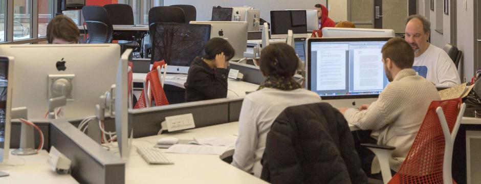
Our Digital Union locations make a variety of technologies accessible to all members of the Ohio State University community.
We offer free 3D printing, laser cutting, state-of-the-art video and audio studios, meeting spaces, access to the Adobe Creative Suite and more. We can help you with tasks such as manipulating images in Photoshop, merging PDF files, editing video, formatting a document, recording a voiceover, or scanning photos.
All resources and assistance are free, with the exception of paper printing and poster printing, which are managed by Uniprint.
Features

Software
Adobe Creative Cloud, Microsoft Office, Final Cut, iLife, iWork, Audacity, Logic Pro, Pro Tools.
x
Vinyl & Paper Cutting
Cricut Maker provides cutting, scoring, perforation and more for paper, cardstock, vinyl and similar materials.
Hardware
Primarily Mac computers.
Scanners for large documents, slides, film, and photos
Cell phone charging stations
Laser Cutting
A Glowforge Plus is available to provide laser cutting and engraving on wood, MDF, acrylic and more.